Bolsover District : Stainsby Mill
Introduction
The photograph on this page of Bolsover District : Stainsby Mill by Lewis Clarke as part of the Geograph project.
The Geograph project started in 2005 with the aim of publishing, organising and preserving representative images for every square kilometre of Great Britain, Ireland and the Isle of Man.

There are currently over 7.5m images from over 14,400 individuals and you can help contribute to the project by visiting https://www.geograph.org.uk
Bolsover District : Stainsby Mill
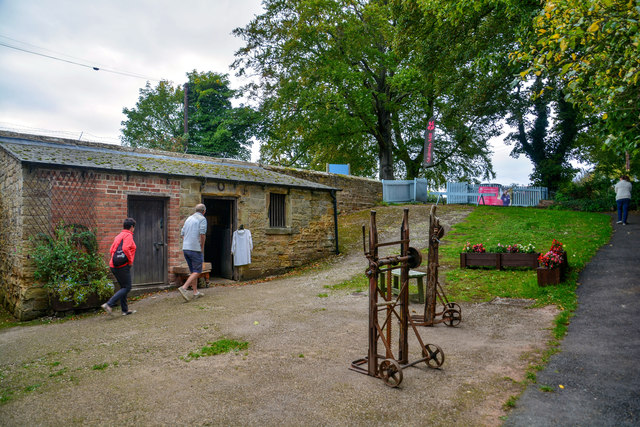
Image: © Lewis Clarke Taken: 3 Oct 2018
A mill on this site appears to have existed from the early 13th century. Originally all the water for the mill came from the River Doe Lea which fed the Miller's Pond on the Hardwick estate. By 1762 the Stainsby Pond, fed by the Stainsby Brook, had been constructed and the water also fed into the Mill Pond which was situated the other side of the road from the mill. Water was allowed into the mill race by sluice gates under the road.
Images are licensed for reuse under creativecommons.org/licenses/by-sa/2.0
Image Location
Latitude
53.183125
Longitude
-1.319702