The lane to Brinsley Gin
Introduction
The photograph on this page of The lane to Brinsley Gin by Alan Murray-Rust as part of the Geograph project.
The Geograph project started in 2005 with the aim of publishing, organising and preserving representative images for every square kilometre of Great Britain, Ireland and the Isle of Man.

There are currently over 7.5m images from over 14,400 individuals and you can help contribute to the project by visiting https://www.geograph.org.uk
The lane to Brinsley Gin
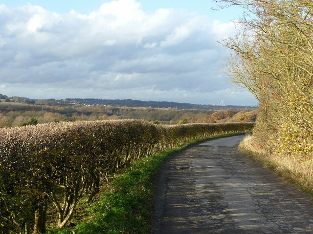
Image: © Alan Murray-Rust Taken: 12 Nov 2018
Farm road which is also a public footpath. The 'Gin' has nothing to do with alcohol, but would have referred to an early coal mine operated with a horse gin.
Images are licensed for reuse under creativecommons.org/licenses/by-sa/2.0
Image Location
Latitude
53.040049
Longitude
-1.325237