Big muddy hole
Introduction
The photograph on this page of Big muddy hole by Richard Sutcliffe as part of the Geograph project.
The Geograph project started in 2005 with the aim of publishing, organising and preserving representative images for every square kilometre of Great Britain, Ireland and the Isle of Man.

There are currently over 7.5m images from over 14,400 individuals and you can help contribute to the project by visiting https://www.geograph.org.uk
Big muddy hole
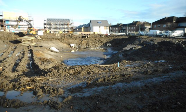
Image: © Richard Sutcliffe Taken: 13 Nov 2018
This is in fact a SuDS (Sustainable Drainage System) pond under construction. This is designed to reduce the potential impact of the new adjacent housing development with respect to surface water drainage discharges.
Images are licensed for reuse under creativecommons.org/licenses/by-sa/2.0
Image Location
Latitude
55.815884
Longitude
-4.360198