Hall Farmhouse, Brinsley
Introduction
The photograph on this page of Hall Farmhouse, Brinsley by Alan Murray-Rust as part of the Geograph project.
The Geograph project started in 2005 with the aim of publishing, organising and preserving representative images for every square kilometre of Great Britain, Ireland and the Isle of Man.

There are currently over 7.5m images from over 14,400 individuals and you can help contribute to the project by visiting https://www.geograph.org.uk
Hall Farmhouse, Brinsley
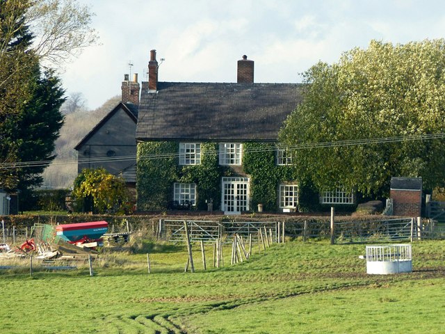
Image: © Alan Murray-Rust Taken: 12 Nov 2018
This front of the house probably represents the c.1875 rebuilding phase, although parts of the building date from the 17th century. Listed Grade II.
Images are licensed for reuse under creativecommons.org/licenses/by-sa/2.0
Image Location
Latitude
53.038702
Longitude
-1.325556