Brinsley churchyard extension
Introduction
The photograph on this page of Brinsley churchyard extension by Alan Murray-Rust as part of the Geograph project.
The Geograph project started in 2005 with the aim of publishing, organising and preserving representative images for every square kilometre of Great Britain, Ireland and the Isle of Man.

There are currently over 7.5m images from over 14,400 individuals and you can help contribute to the project by visiting https://www.geograph.org.uk
Brinsley churchyard extension
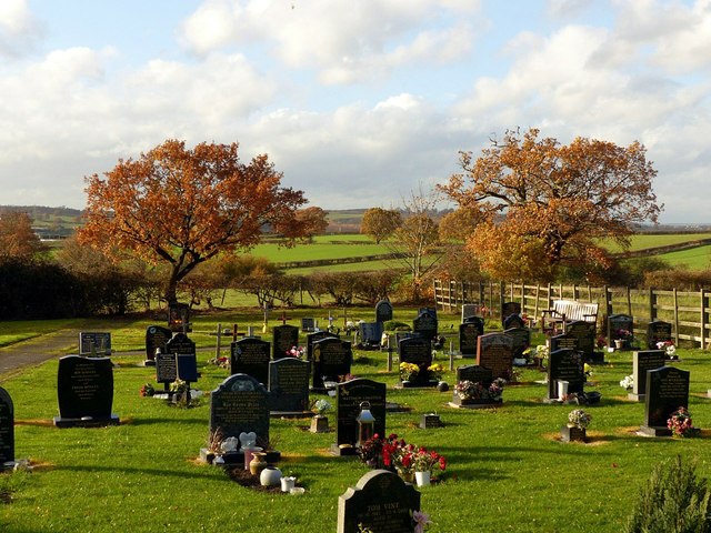
Image: © Alan Murray-Rust Taken: 12 Nov 2018
This was created to the west of the church in 1996. At the far end a pair of oak trees showing golden autumn colour.
Images are licensed for reuse under creativecommons.org/licenses/by-sa/2.0
Image Location
Latitude
53.038103
Longitude
-1.315126