Rubble at Talisman Avenue
Introduction
The photograph on this page of Rubble at Talisman Avenue by Lairich Rig as part of the Geograph project.
The Geograph project started in 2005 with the aim of publishing, organising and preserving representative images for every square kilometre of Great Britain, Ireland and the Isle of Man.

There are currently over 7.5m images from over 14,400 individuals and you can help contribute to the project by visiting https://www.geograph.org.uk
Rubble at Talisman Avenue
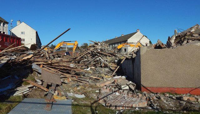
Image: © Lairich Rig Taken: 27 Oct 2018
The three standing buildings are soon to be demolished, and are the ones shown (in the same left-to-right order) in a view from another angle: Image
Images are licensed for reuse under creativecommons.org/licenses/by-sa/2.0
Image Location
Latitude
55.947124
Longitude
-4.595944