Building at Westcliff
Introduction
The photograph on this page of Building at Westcliff by Lairich Rig as part of the Geograph project.
The Geograph project started in 2005 with the aim of publishing, organising and preserving representative images for every square kilometre of Great Britain, Ireland and the Isle of Man.

There are currently over 7.5m images from over 14,400 individuals and you can help contribute to the project by visiting https://www.geograph.org.uk
Building at Westcliff
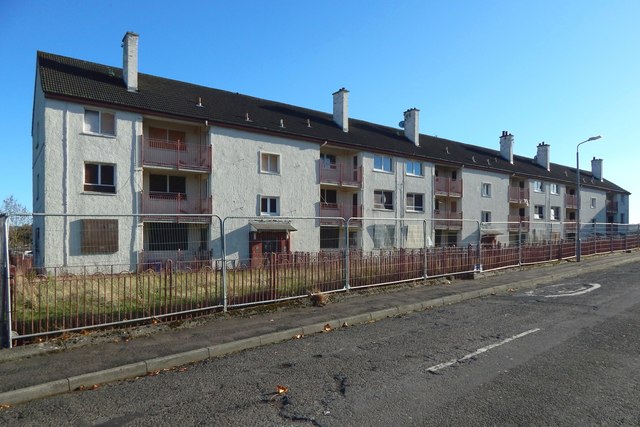
Image: © Lairich Rig Taken: 27 Oct 2018
This block, soon to be demolished, is the more distant one shown in Image; the one at the centre in Image; and the one at the back, on the right, in Image
Images are licensed for reuse under creativecommons.org/licenses/by-sa/2.0
Image Location
Latitude
55.947838
Longitude
-4.596152