Demolition on Talisman Avenue
Introduction
The photograph on this page of Demolition on Talisman Avenue by Lairich Rig as part of the Geograph project.
The Geograph project started in 2005 with the aim of publishing, organising and preserving representative images for every square kilometre of Great Britain, Ireland and the Isle of Man.

There are currently over 7.5m images from over 14,400 individuals and you can help contribute to the project by visiting https://www.geograph.org.uk
Demolition on Talisman Avenue
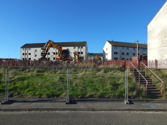
Image: © Lairich Rig Taken: 27 Oct 2018
This area, the site of a cleared block, is shown from another angle in Image The buildings in the background are shown in Image The rubble itself is shown from the south (the left) in Image
Images are licensed for reuse under creativecommons.org/licenses/by-sa/2.0
Image Location
Latitude
55.947217
Longitude
-4.59579