Derelict former fuel filling station and shop in Ogmore Vale
Introduction
The photograph on this page of Derelict former fuel filling station and shop in Ogmore Vale by Jaggery as part of the Geograph project.
The Geograph project started in 2005 with the aim of publishing, organising and preserving representative images for every square kilometre of Great Britain, Ireland and the Isle of Man.

There are currently over 7.5m images from over 14,400 individuals and you can help contribute to the project by visiting https://www.geograph.org.uk
Derelict former fuel filling station and shop in Ogmore Vale
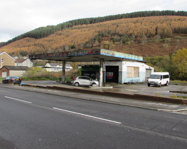
Image: © Jaggery Taken: 14 Nov 2018
Alongside the A4061 Cemetery Road viewed in November 2018. This site has been derelict for many years. A June 2011 Google Earth Street View shows boarded-up premises here with four fuel pumps still in place.
Images are licensed for reuse under creativecommons.org/licenses/by-sa/2.0
Image Location
Latitude
51.594664
Longitude
-3.541335