Eastwood Hall
Introduction
The photograph on this page of Eastwood Hall by Alan Murray-Rust as part of the Geograph project.
The Geograph project started in 2005 with the aim of publishing, organising and preserving representative images for every square kilometre of Great Britain, Ireland and the Isle of Man.

There are currently over 7.5m images from over 14,400 individuals and you can help contribute to the project by visiting https://www.geograph.org.uk
Eastwood Hall
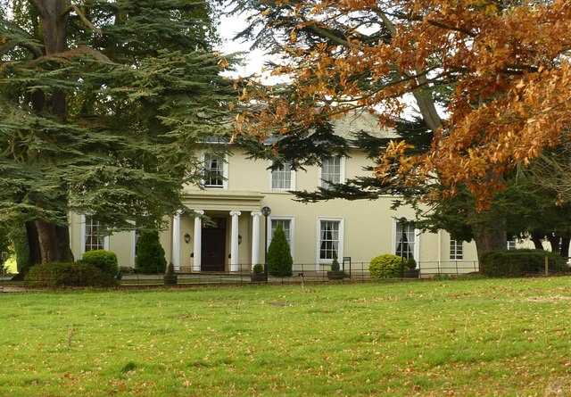
Image: © Alan Murray-Rust Taken: 12 Nov 2018
Built in c.1810 by the Barber family, who came to run the local coal mining industry, it eventually passed to the National Coal Board, forming their regional offices, with extensive new build to the north of the house. Now a large conference and event centre. The original house is Listed Grade II.
Images are licensed for reuse under creativecommons.org/licenses/by-sa/2.0
Image Location
Latitude
53.023782
Longitude
-1.310284