Broxtowe Country Trail fingerpost
Introduction
The photograph on this page of Broxtowe Country Trail fingerpost by Alan Murray-Rust as part of the Geograph project.
The Geograph project started in 2005 with the aim of publishing, organising and preserving representative images for every square kilometre of Great Britain, Ireland and the Isle of Man.

There are currently over 7.5m images from over 14,400 individuals and you can help contribute to the project by visiting https://www.geograph.org.uk
Broxtowe Country Trail fingerpost
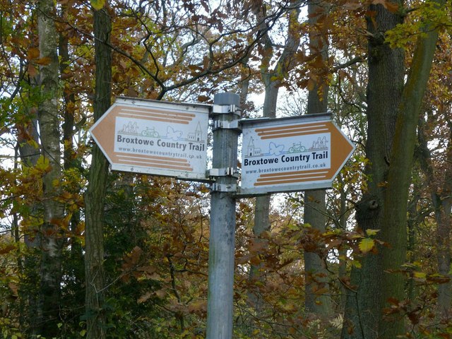
Image: © Alan Murray-Rust Taken: 12 Nov 2018
Described as “a long distance trail which roughly follows the boundary between Broxtowe Borough and Nottingham City”, here it is well away from Nottingham City, and close to Ashfield District. For more information see https://www.broxtowe.gov.uk/media/1850/broxtowe-country-trail-guide-leaflet.pdf. See http://www.geograph.org.uk/photo/5975320 for location.
Images are licensed for reuse under creativecommons.org/licenses/by-sa/2.0
Image Location
Latitude
53.03529
Longitude
-1.280125