Bushey Heath: California Lane
Introduction
The photograph on this page of Bushey Heath: California Lane by Nigel Cox as part of the Geograph project.
The Geograph project started in 2005 with the aim of publishing, organising and preserving representative images for every square kilometre of Great Britain, Ireland and the Isle of Man.

There are currently over 7.5m images from over 14,400 individuals and you can help contribute to the project by visiting https://www.geograph.org.uk
Bushey Heath: California Lane
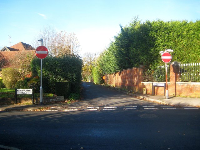
Image: © Nigel Cox Taken: 14 Nov 2018
California Lane is named after the original sole property on the lane, as shown on the Ordnance Survey map of 1897. Its age means that it is comparatively narrow, and so it is one-way for today's traffic. This is the south-eastern end at the junction with Hartsbourne Road.
Images are licensed for reuse under creativecommons.org/licenses/by-sa/2.0
Image Location
Latitude
51.632005
Longitude
-0.341132