The Green, Wooburn Green
Introduction
The photograph on this page of The Green, Wooburn Green by Des Blenkinsopp as part of the Geograph project.
The Geograph project started in 2005 with the aim of publishing, organising and preserving representative images for every square kilometre of Great Britain, Ireland and the Isle of Man.

There are currently over 7.5m images from over 14,400 individuals and you can help contribute to the project by visiting https://www.geograph.org.uk
The Green, Wooburn Green
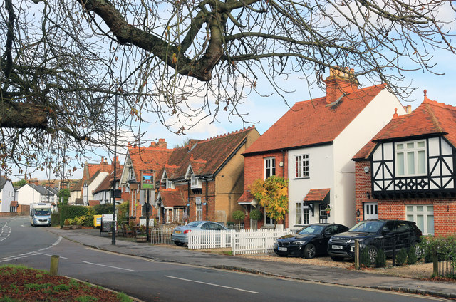
Image: © Des Blenkinsopp Taken: 8 Nov 2018
The three roads around the edge of the triangular green in the middle of the village are all called The Green. This is the eastern side.
Images are licensed for reuse under creativecommons.org/licenses/by-sa/2.0
Image Location
Latitude
51.587863
Longitude
-0.682252