Field to the north of Shepton Beauchamp
Introduction
The photograph on this page of Field to the north of Shepton Beauchamp by Kate Jewell as part of the Geograph project.
The Geograph project started in 2005 with the aim of publishing, organising and preserving representative images for every square kilometre of Great Britain, Ireland and the Isle of Man.

There are currently over 7.5m images from over 14,400 individuals and you can help contribute to the project by visiting https://www.geograph.org.uk
Field to the north of Shepton Beauchamp
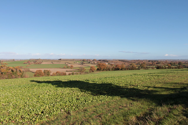
Image: © Kate Jewell Taken: 11 Nov 2018
The footpath from the top of Lincolm Hill to Brimgrove Lane crosses a large open field which backs onto the village Recreation Ground. This season it is down to turnips. See the photograph looking in the opposite direction, Image, for information about this useful cover crop. The large oak tree in the middle distance can be seen here Image and the village beyond is West Lambrook in Image
Images are licensed for reuse under creativecommons.org/licenses/by-sa/2.0
Image Location
Latitude
50.956824
Longitude
-2.845581