Bedale Beck from Leeming Bridge
Introduction
The photograph on this page of Bedale Beck from Leeming Bridge by Gordon Hatton as part of the Geograph project.
The Geograph project started in 2005 with the aim of publishing, organising and preserving representative images for every square kilometre of Great Britain, Ireland and the Isle of Man.

There are currently over 7.5m images from over 14,400 individuals and you can help contribute to the project by visiting https://www.geograph.org.uk
Bedale Beck from Leeming Bridge
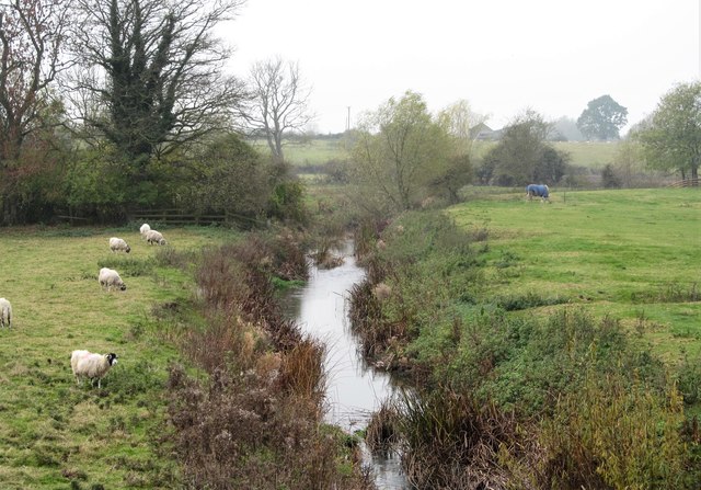
Image: © Gordon Hatton Taken: 6 Nov 2018
A glance at the OS map will show that Bedale Beck follows a course that appears to be a series of straight lines with occasional bends between Bedale and the Swale. This could be as a result of works to improve drainage, but I'm inclined to think that any straightening was done as part of the failed scheme to canalise the beck in the 18thC. The remains of a lock a short way upstream from here and the more obvious 'harbour' works in Bedale help confirm my suspicions.
Images are licensed for reuse under creativecommons.org/licenses/by-sa/2.0
Image Location
Latitude
54.301266
Longitude
-1.551574