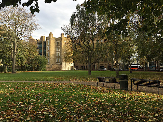
Wapping Rose Gardens
Introduction
The photograph on this page of Wapping Rose Gardens by Robin Stott as part of the Geograph project.
The Geograph project started in 2005 with the aim of publishing, organising and preserving representative images for every square kilometre of Great Britain, Ireland and the Isle of Man.
There are currently over 7.5m images from over 14,400 individuals and you can help contribute to the project by visiting https://www.geograph.org.uk

Image: © Robin Stott Taken: 13 Oct 2018
A pleasant and peaceful green space on a sunny Saturday afternoon in October, with little disturbance from Wapping High Street and its police station, right. There are a few roses. In the postwar period this was Waterside Gardens; it has been remodelled since. Before the war this was densely occupied by a cooperage (barrel-maker), dwellings and a school. Partially seen on the left, a late 19th-century tenement called Tower Buildings. There is another surviving example in Brewhouse Lane. The view is from near the Green Bank entrance.

