Lyppiatt Terrace
Introduction
The photograph on this page of Lyppiatt Terrace by Philip Halling as part of the Geograph project.
The Geograph project started in 2005 with the aim of publishing, organising and preserving representative images for every square kilometre of Great Britain, Ireland and the Isle of Man.

There are currently over 7.5m images from over 14,400 individuals and you can help contribute to the project by visiting https://www.geograph.org.uk
Lyppiatt Terrace
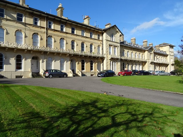
Image: © Philip Halling Taken: 6 Nov 2018
A terrace of 17 houses with attached balustrades throughout, built around 1847. The architect was Samuel W Daukes and the builder, Richard Keitley. The Building is Grade II* listed, see: https://historicengland.org.uk/listing/the-list/list-entry/1245263
Images are licensed for reuse under creativecommons.org/licenses/by-sa/2.0
Image Location
Latitude
51.89364
Longitude
-2.085254