View South-Westwards from Glendesha Road
Introduction
The photograph on this page of View South-Westwards from Glendesha Road by Eric Jones as part of the Geograph project.
The Geograph project started in 2005 with the aim of publishing, organising and preserving representative images for every square kilometre of Great Britain, Ireland and the Isle of Man.

There are currently over 7.5m images from over 14,400 individuals and you can help contribute to the project by visiting https://www.geograph.org.uk
View South-Westwards from Glendesha Road
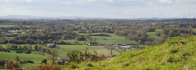
Image: © Eric Jones Taken: 17 Oct 2018
This provides a view of a section of the South Armagh/ Co Louth border lands. The church tower is the distance is that St Bridget's Church, Glassdrumman/ Glassdrummond.
Images are licensed for reuse under creativecommons.org/licenses/by-sa/2.0
Image Location
Latitude
54.072011
Longitude
-6.533189