River Esk valley
Introduction
The photograph on this page of River Esk valley by M H Evans as part of the Geograph project.
The Geograph project started in 2005 with the aim of publishing, organising and preserving representative images for every square kilometre of Great Britain, Ireland and the Isle of Man.

There are currently over 7.5m images from over 14,400 individuals and you can help contribute to the project by visiting https://www.geograph.org.uk
River Esk valley
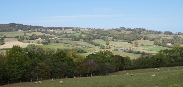
Image: © M H Evans Taken: 2 Oct 2018
The left bank of the Esk valley, taken from near Caley Becks Farm on the Eskdaleside road between Sleights and Grosmont. The village of Aislaby is near the skyline.
Images are licensed for reuse under creativecommons.org/licenses/by-sa/2.0
Image Location
Latitude
54.465281
Longitude
-0.679315