Rubble at the former OLSP site
Introduction
The photograph on this page of Rubble at the former OLSP site by Lairich Rig as part of the Geograph project.
The Geograph project started in 2005 with the aim of publishing, organising and preserving representative images for every square kilometre of Great Britain, Ireland and the Isle of Man.

There are currently over 7.5m images from over 14,400 individuals and you can help contribute to the project by visiting https://www.geograph.org.uk
Rubble at the former OLSP site
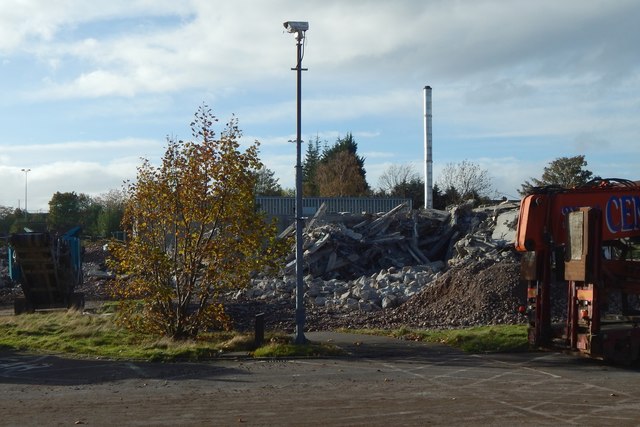
Image: © Lairich Rig Taken: 19 Oct 2018
See Image for a view from the south, and for context. The present picture is a view from the eastern perimeter.
Images are licensed for reuse under creativecommons.org/licenses/by-sa/2.0
Image Location


Leaflet Map data © OpenStreetMap
Latitude
55.94884
Longitude
-4.591253