Demolition of the former OLSP
Introduction
The photograph on this page of Demolition of the former OLSP by Lairich Rig as part of the Geograph project.
The Geograph project started in 2005 with the aim of publishing, organising and preserving representative images for every square kilometre of Great Britain, Ireland and the Isle of Man.

There are currently over 7.5m images from over 14,400 individuals and you can help contribute to the project by visiting https://www.geograph.org.uk
Demolition of the former OLSP
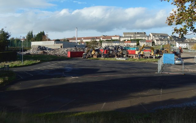
Image: © Lairich Rig Taken: 19 Oct 2018
The main building has been reduced to rubble: Image The standing building, with tall chimney, is centred on Image
Images are licensed for reuse under creativecommons.org/licenses/by-sa/2.0
Image Location
Latitude
55.94893
Longitude
-4.591259