Access to the river
Introduction
The photograph on this page of Access to the river by Penny Mayes as part of the Geograph project.
The Geograph project started in 2005 with the aim of publishing, organising and preserving representative images for every square kilometre of Great Britain, Ireland and the Isle of Man.

There are currently over 7.5m images from over 14,400 individuals and you can help contribute to the project by visiting https://www.geograph.org.uk
Access to the river
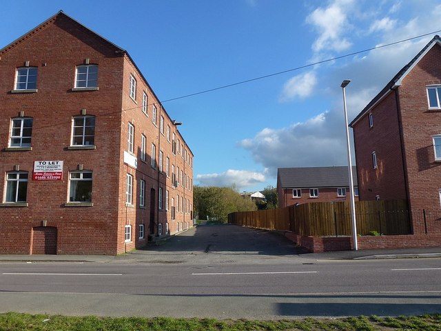
Image: © Penny Mayes Taken: 29 Oct 2018
Between Cymric Mill apartments (left) and the new Cwrt Cei Coed development http://www.geograph.org.uk/snippet/18420 (right). This road also gives access to Roberts & Bumford, Agricultural Merchants http://www.geograph.org.uk/photo/5955310. The building among the trees in the background is across the river on Kirkhamsfield council road maintenance depot.
Images are licensed for reuse under creativecommons.org/licenses/by-sa/2.0
Image Location
Latitude
52.518043
Longitude
-3.305372