Farmland near Gare Hill
Introduction
The photograph on this page of Farmland near Gare Hill by Neil Owen as part of the Geograph project.
The Geograph project started in 2005 with the aim of publishing, organising and preserving representative images for every square kilometre of Great Britain, Ireland and the Isle of Man.

There are currently over 7.5m images from over 14,400 individuals and you can help contribute to the project by visiting https://www.geograph.org.uk
Farmland near Gare Hill
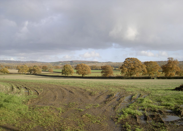
Image: © Neil Owen Taken: 11 Nov 2018
A field boundary is marked beautifully with some mature colour.
Images are licensed for reuse under creativecommons.org/licenses/by-sa/2.0
Image Location
Latitude
51.173253
Longitude
-2.333236