Hillock with rough tarmac ramp
Introduction
The photograph on this page of Hillock with rough tarmac ramp by Robin Webster as part of the Geograph project.
The Geograph project started in 2005 with the aim of publishing, organising and preserving representative images for every square kilometre of Great Britain, Ireland and the Isle of Man.

There are currently over 7.5m images from over 14,400 individuals and you can help contribute to the project by visiting https://www.geograph.org.uk
Hillock with rough tarmac ramp
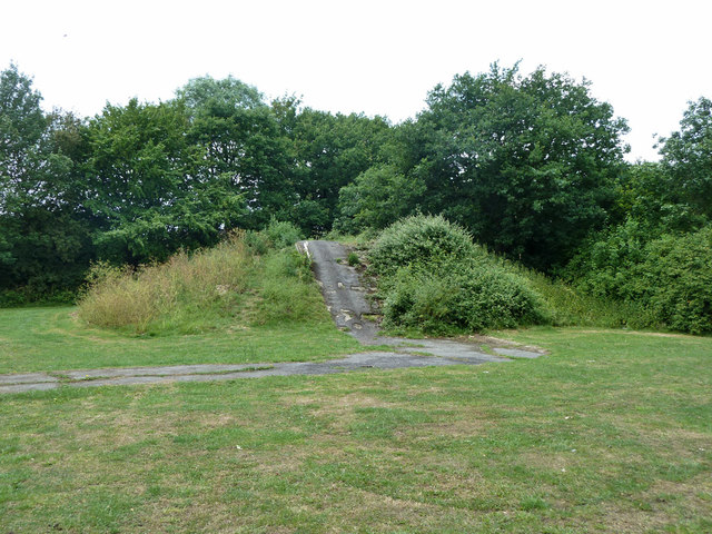
Image: © Robin Webster Taken: 11 Jun 2011
In Painesbrook Open Space, this seems to be the remains of slides which, if that is what they were, disappeared from aerial views between 2003 and 2006. It looks as if there were two slides, one of which had a superstructure on top of the rise.
Images are licensed for reuse under creativecommons.org/licenses/by-sa/2.0
Image Location
Latitude
51.598549
Longitude
0.238683