Wharf Street
Introduction
The photograph on this page of Wharf Street by Betty Longbottom as part of the Geograph project.
The Geograph project started in 2005 with the aim of publishing, organising and preserving representative images for every square kilometre of Great Britain, Ireland and the Isle of Man.

There are currently over 7.5m images from over 14,400 individuals and you can help contribute to the project by visiting https://www.geograph.org.uk
Wharf Street
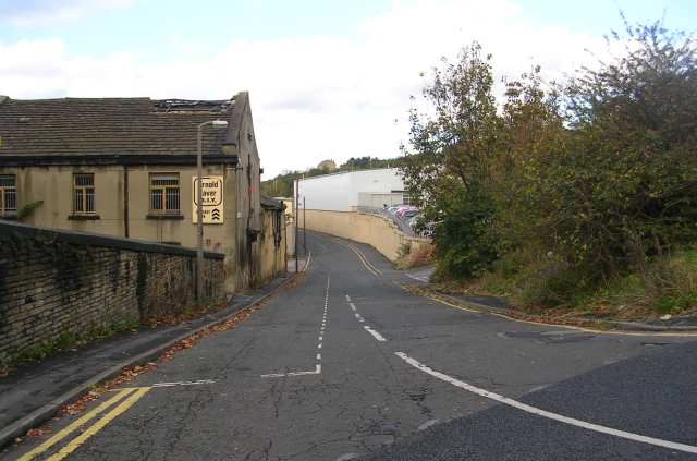
Image: © Betty Longbottom Taken: 28 Oct 2007
So called as this led down to the Bradford Canal, which was opened in 1774 as a three mile feeder to Shipley and the Leeds and Liverpool Canal, there were 10 locks and a fall of 58 feet in the 3 miles. It finally closed in 1922.
Images are licensed for reuse under creativecommons.org/licenses/by-sa/2.0
Image Location
Latitude
53.79898
Longitude
-1.748243