The Cutting
Introduction
The photograph on this page of The Cutting by Wilson Adams as part of the Geograph project.
The Geograph project started in 2005 with the aim of publishing, organising and preserving representative images for every square kilometre of Great Britain, Ireland and the Isle of Man.

There are currently over 7.5m images from over 14,400 individuals and you can help contribute to the project by visiting https://www.geograph.org.uk
The Cutting
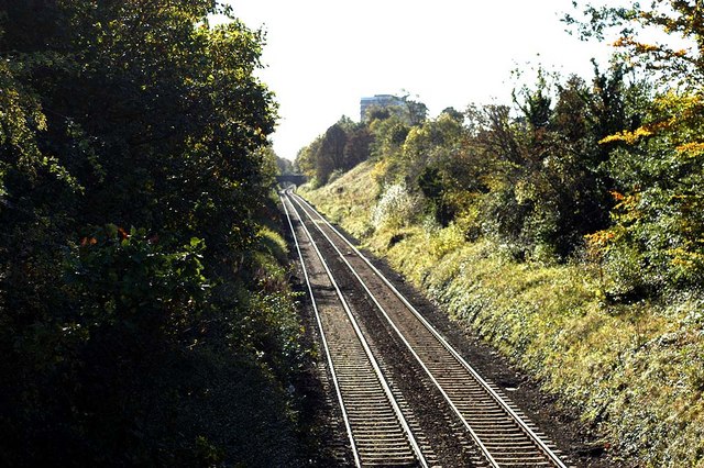
Image: © Wilson Adams Taken: 28 Oct 2007
Image made from an overbridge at Station Road Whiteabbey, looking towards Belfast. The bridge in the distance is a pedestrian bridge. The A2 Shore Road to Belfast runs parallel to the railway line, and the Hi-rise flats are located at Rush Park.
Images are licensed for reuse under creativecommons.org/licenses/by-sa/2.0
Image Location
Latitude
54.671287
Longitude
-5.905072