Graiseley Park in Wolverhampton
Introduction
The photograph on this page of Graiseley Park in Wolverhampton by Roger Kidd as part of the Geograph project.
The Geograph project started in 2005 with the aim of publishing, organising and preserving representative images for every square kilometre of Great Britain, Ireland and the Isle of Man.

There are currently over 7.5m images from over 14,400 individuals and you can help contribute to the project by visiting https://www.geograph.org.uk
Graiseley Park in Wolverhampton
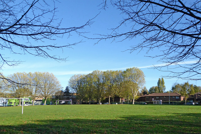
Image: © Roger Kidd Taken: 2 Nov 2018
This is a pleasantly landscaped park (also called Graiseley Recreation Ground) hidden between older industrial premises and some late nineteenth and early twentieth century housing near Lower Villiers Street. A more modern housing development called "The Haven" can be seen ahead.
Images are licensed for reuse under creativecommons.org/licenses/by-sa/2.0
Image Location
Latitude
52.575877
Longitude
-2.128631