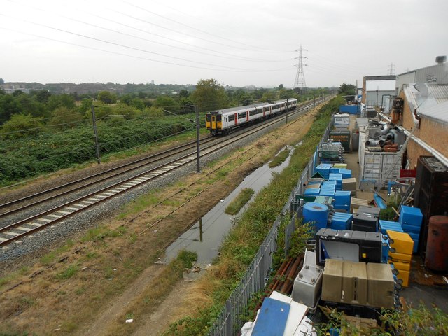
Lee Valley Railway Line
Introduction
The photograph on this page of Lee Valley Railway Line by Nigel Cox as part of the Geograph project.
The Geograph project started in 2005 with the aim of publishing, organising and preserving representative images for every square kilometre of Great Britain, Ireland and the Isle of Man.
There are currently over 7.5m images from over 14,400 individuals and you can help contribute to the project by visiting https://www.geograph.org.uk

Image: © Nigel Cox Taken: 25 Aug 2016
Old large scale Ordnance Survey maps available online give some indication of the pre-nationalisation history of this railway, as follows:- 1851: Eastern Counties Railway (Cambridge Line) 1865: Great Eastern Railway (Cambridge Line) 1895 & 1915: Great Eastern Railway (Cambridge Old Main Line) 1936: London & North Eastern Railway (Stratford & Tottenham Line) 1946: London & North Eastern Railway (Cambridge Old Main Line) Just visible in the grass to the right is another set of tracks, now abandoned, that was once part of the long-dismantled Lea Bridge Curve that linked the 1895 railway here with the Great Eastern Railway's Walthamstow & Chingford Branch Line. Where the flooded track is now was the second line of this curve. The train in sight has just left Lea Bridge Station and is heading northbound to Tottenham Hale Station. This is the view from the Argall Way footbridge.

