Conglass Water
Introduction
The photograph on this page of Conglass Water by Anne Burgess as part of the Geograph project.
The Geograph project started in 2005 with the aim of publishing, organising and preserving representative images for every square kilometre of Great Britain, Ireland and the Isle of Man.

There are currently over 7.5m images from over 14,400 individuals and you can help contribute to the project by visiting https://www.geograph.org.uk
Conglass Water
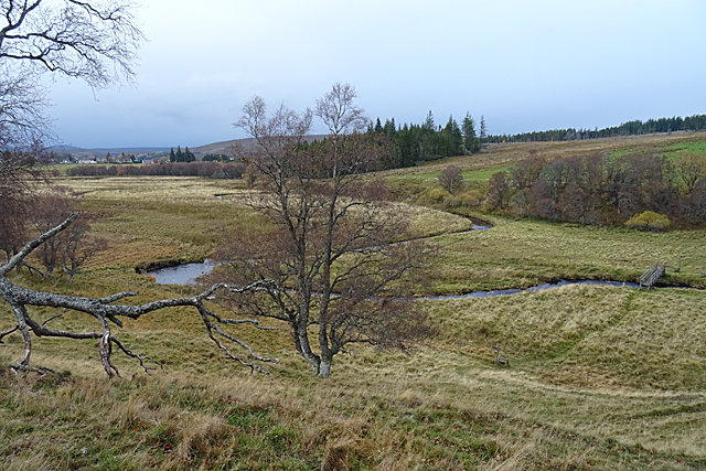
Image: © Anne Burgess Taken: 8 Nov 2018
From the slope above the right bank, there is a good view of one of the meanders of the Conglass Water. In the distance is the village of Tomintoul (which is pronounced "Tom'n'towel", not "Tom'n'tool") and on the right is the bridge by which the Tomintoul Spur of the Speyside Way crosses the river. The official Speyside Way web site is at http://www.speysideway.co.uk/ - beware an unofficial site with a similar URL ending in .org.
Images are licensed for reuse under creativecommons.org/licenses/by-sa/2.0
Image Location
Latitude
57.262805
Longitude
-3.379994