Exeter, St Petrock's
Introduction
The photograph on this page of Exeter, St Petrock's by Mike Faherty as part of the Geograph project.
The Geograph project started in 2005 with the aim of publishing, organising and preserving representative images for every square kilometre of Great Britain, Ireland and the Isle of Man.

There are currently over 7.5m images from over 14,400 individuals and you can help contribute to the project by visiting https://www.geograph.org.uk
Exeter, St Petrock's
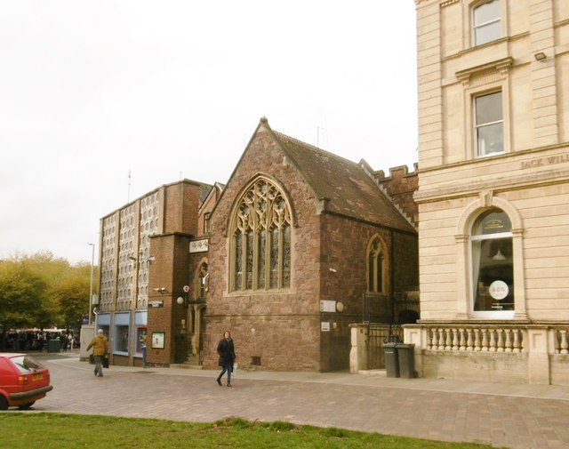
Image: © Mike Faherty Taken: 5 Nov 2018
C15 church accessible from Cathedral Yard (here), or High Street. The building is Grade II* listed by Historic England, and now used by a charity helping the homeless. https://historicengland.org.uk/listing/the-list/list-entry/1333409 https://stpetrocks.org.uk/
Images are licensed for reuse under creativecommons.org/licenses/by-sa/2.0
Image Location
Latitude
50.722678
Longitude
-3.531948