Footpath through a housing estate
Introduction
The photograph on this page of Footpath through a housing estate by Alan Murray-Rust as part of the Geograph project.
The Geograph project started in 2005 with the aim of publishing, organising and preserving representative images for every square kilometre of Great Britain, Ireland and the Isle of Man.

There are currently over 7.5m images from over 14,400 individuals and you can help contribute to the project by visiting https://www.geograph.org.uk
Footpath through a housing estate
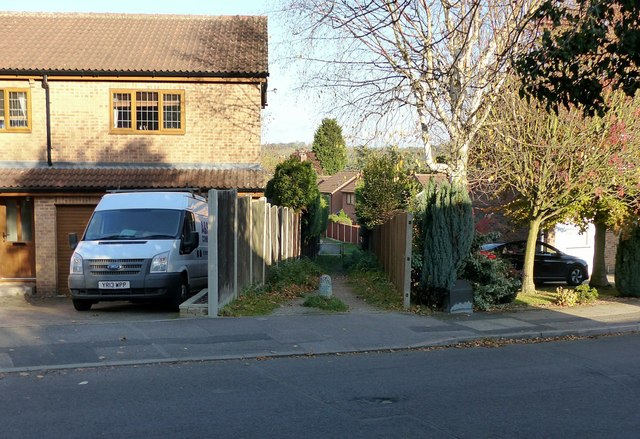
Image: © Alan Murray-Rust Taken: 2 Nov 2018
The original alignment of a long-standing right of way has been maintained as housing estates expanded.
Images are licensed for reuse under creativecommons.org/licenses/by-sa/2.0
Image Location
Latitude
53.006643
Longitude
-1.285073