Former railway bridge over Lamb Close Lane
Introduction
The photograph on this page of Former railway bridge over Lamb Close Lane by Alan Murray-Rust as part of the Geograph project.
The Geograph project started in 2005 with the aim of publishing, organising and preserving representative images for every square kilometre of Great Britain, Ireland and the Isle of Man.

There are currently over 7.5m images from over 14,400 individuals and you can help contribute to the project by visiting https://www.geograph.org.uk
Former railway bridge over Lamb Close Lane
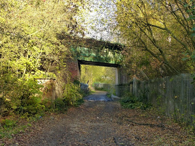
Image: © Alan Murray-Rust Taken: 2 Nov 2018
The lane was originally the southern drive to Lamb Close House. The bridge carried the private railway serving a number of local coal mines, latterly reduced to just Moorgreen Colliery, and now carries an internal roadway of Caunton Engineering. The lane is a public footpath.
Images are licensed for reuse under creativecommons.org/licenses/by-sa/2.0
Image Location
Latitude
53.024586
Longitude
-1.29402