Paddocks, Rosehill
Introduction
The photograph on this page of Paddocks, Rosehill by Andrew Smith as part of the Geograph project.
The Geograph project started in 2005 with the aim of publishing, organising and preserving representative images for every square kilometre of Great Britain, Ireland and the Isle of Man.

There are currently over 7.5m images from over 14,400 individuals and you can help contribute to the project by visiting https://www.geograph.org.uk
Paddocks, Rosehill
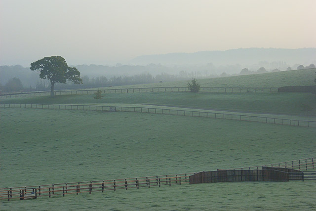
Image: © Andrew Smith Taken: 23 Oct 2007
Looking across a valley from Rose Lane. The prominent tree stands beside the driveway running south from the A4130 parallel to the lane.
Images are licensed for reuse under creativecommons.org/licenses/by-sa/2.0
Image Location
Latitude
51.53743
Longitude
-0.836404