The lade at Dalquhurn
Introduction
The photograph on this page of The lade at Dalquhurn by Lairich Rig as part of the Geograph project.
The Geograph project started in 2005 with the aim of publishing, organising and preserving representative images for every square kilometre of Great Britain, Ireland and the Isle of Man.

There are currently over 7.5m images from over 14,400 individuals and you can help contribute to the project by visiting https://www.geograph.org.uk
The lade at Dalquhurn
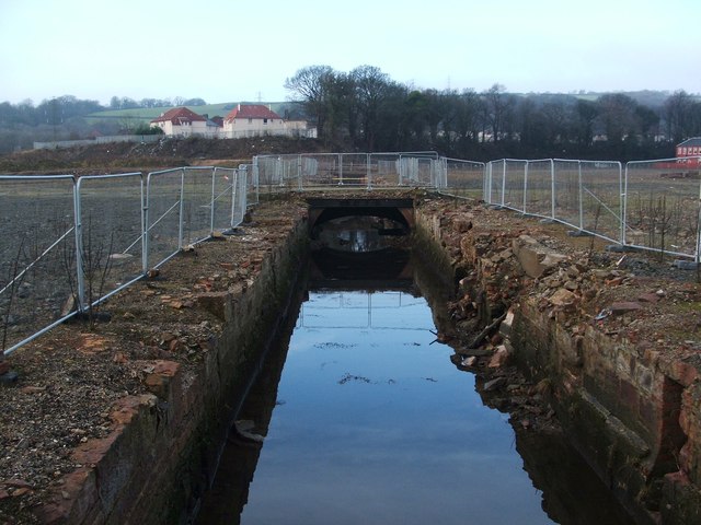
Image: © Lairich Rig Taken: 22 Jan 2010
By 2018, when this picture was submitted, a new housing development had been built alongside the lade, which was left open: Image Click on the end-note title for other views of the lade at different periods.
Images are licensed for reuse under creativecommons.org/licenses/by-sa/2.0
Image Location
Latitude
55.964554
Longitude
-4.579163