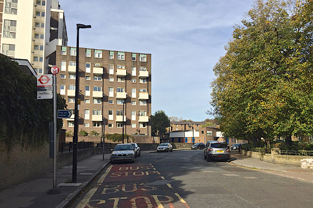
Bus stop M, Prusom Street, Wapping
Introduction
The photograph on this page of Bus stop M, Prusom Street, Wapping by Robin Stott as part of the Geograph project.
The Geograph project started in 2005 with the aim of publishing, organising and preserving representative images for every square kilometre of Great Britain, Ireland and the Isle of Man.
There are currently over 7.5m images from over 14,400 individuals and you can help contribute to the project by visiting https://www.geograph.org.uk

Image: © Robin Stott Taken: 13 Oct 2018
Alight here for Clegg Street, the turning lower right which runs through to Cinnamon Street. The area is served by single-decker buses on route 100: "towards Tower Gateway" says the bus stop. A map of 1875 shows this as King Street. The view would have been of large institutional buildings: the Infirmary to the south of the St George in the East Workhouse. The flats ahead are part of Doughty Court; the tall tower upper left is Oswell House, so named on a map of 1958-76.

