Boscar Flat
Introduction
The photograph on this page of Boscar Flat by Chris Heaton as part of the Geograph project.
The Geograph project started in 2005 with the aim of publishing, organising and preserving representative images for every square kilometre of Great Britain, Ireland and the Isle of Man.

There are currently over 7.5m images from over 14,400 individuals and you can help contribute to the project by visiting https://www.geograph.org.uk
Boscar Flat
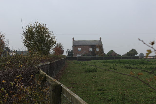
Image: © Chris Heaton Taken: 6 Nov 2018
Farmhouse on the minor road between Husthwaite and the A19 at Peter Hill
Images are licensed for reuse under creativecommons.org/licenses/by-sa/2.0
Image Location


Leaflet Map data © OpenStreetMap
Latitude
54.15351
Longitude
-1.230704