Gidd Hill
Introduction
The photograph on this page of Gidd Hill by Ian Capper as part of the Geograph project.
The Geograph project started in 2005 with the aim of publishing, organising and preserving representative images for every square kilometre of Great Britain, Ireland and the Isle of Man.

There are currently over 7.5m images from over 14,400 individuals and you can help contribute to the project by visiting https://www.geograph.org.uk
Gidd Hill
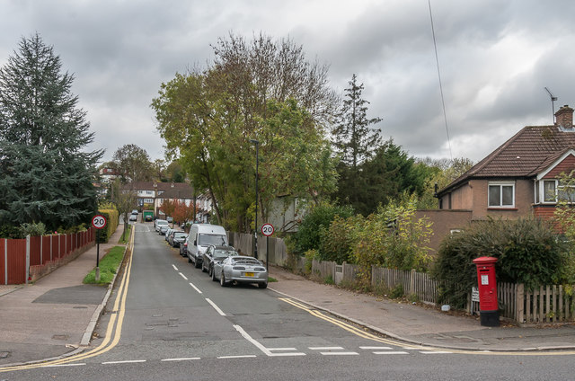
Image: © Ian Capper Taken: 27 Oct 2018
Road off Chipstead Valley Road, first shown on the 1935 1:2,500 map. On the right is an Edward VIII postbox - see Image
Images are licensed for reuse under creativecommons.org/licenses/by-sa/2.0
Image Location
Latitude
51.31714
Longitude
-0.15893