Ingrebourne River in Rainham (1)
Introduction
The photograph on this page of Ingrebourne River in Rainham (1) by Nigel Cox as part of the Geograph project.
The Geograph project started in 2005 with the aim of publishing, organising and preserving representative images for every square kilometre of Great Britain, Ireland and the Isle of Man.

There are currently over 7.5m images from over 14,400 individuals and you can help contribute to the project by visiting https://www.geograph.org.uk
Ingrebourne River in Rainham (1)
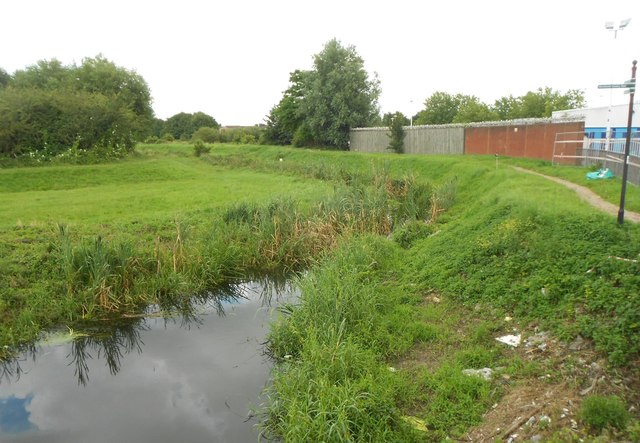
Image: © Nigel Cox Taken: 13 Jul 2016
This is the downstream end of the river at the Red Bridge. Downstream of the bridge the watercourse turns into the tidal Image] There are raised banks on either side as flood defences.
Images are licensed for reuse under creativecommons.org/licenses/by-sa/2.0
Image Location


Leaflet Map data © OpenStreetMap
Latitude
51.520853
Longitude
0.190904