The Lanes Golf Course (disused)
Introduction
The photograph on this page of The Lanes Golf Course (disused) by Des Blenkinsopp as part of the Geograph project.
The Geograph project started in 2005 with the aim of publishing, organising and preserving representative images for every square kilometre of Great Britain, Ireland and the Isle of Man.

There are currently over 7.5m images from over 14,400 individuals and you can help contribute to the project by visiting https://www.geograph.org.uk
The Lanes Golf Course (disused)
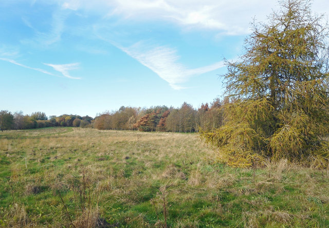
Image: © Des Blenkinsopp Taken: 2 Nov 2018
This is quite unusual. I don't recall walking through a derelict golf course before. I thought there was an endless demand for them. The Lanes course has obviously not been used for some time and is going back to rough grassland.
Images are licensed for reuse under creativecommons.org/licenses/by-sa/2.0
Image Location
Latitude
51.527669
Longitude
-0.593748