Junction, Grovely Woods
Introduction
The photograph on this page of Junction, Grovely Woods by Derek Harper as part of the Geograph project.
The Geograph project started in 2005 with the aim of publishing, organising and preserving representative images for every square kilometre of Great Britain, Ireland and the Isle of Man.

There are currently over 7.5m images from over 14,400 individuals and you can help contribute to the project by visiting https://www.geograph.org.uk
Junction, Grovely Woods
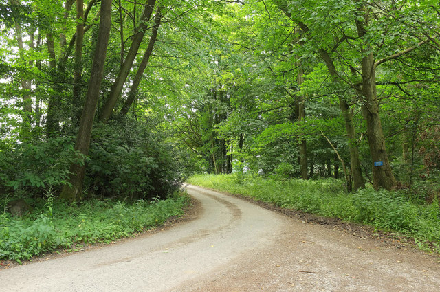
Image: © Derek Harper Taken: 1 Jul 2018
The main track here swings left to Grovely Lodge and Cottages, but is marked as "PRIVATE NO RIGHT OF WAY" on the blue notice. A less smooth bridleway continues along Second Broad Drive to the right.
Images are licensed for reuse under creativecommons.org/licenses/by-sa/2.0
Image Location


Leaflet Map data © OpenStreetMap
Latitude
51.10645
Longitude
-1.933674