Nottingham Road, Nuthall
Introduction
The photograph on this page of Nottingham Road, Nuthall by Alan Murray-Rust as part of the Geograph project.
The Geograph project started in 2005 with the aim of publishing, organising and preserving representative images for every square kilometre of Great Britain, Ireland and the Isle of Man.

There are currently over 7.5m images from over 14,400 individuals and you can help contribute to the project by visiting https://www.geograph.org.uk
Nottingham Road, Nuthall
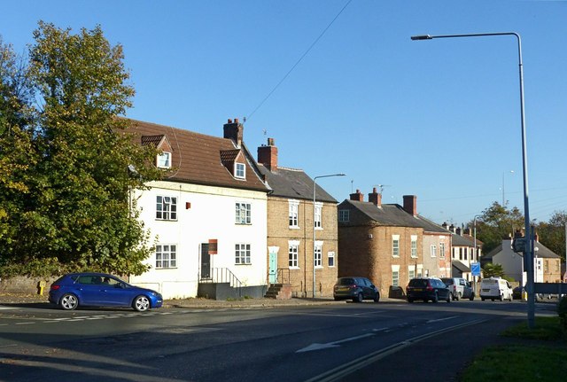
Image: © Alan Murray-Rust Taken: 2 Nov 2018
Formerly the main A610 from Nottingham to Eastwood, Heanor and Ripley. The three nearest houses are all early 19th century and Listed Grade II.
Images are licensed for reuse under creativecommons.org/licenses/by-sa/2.0
Image Location
Latitude
52.995355
Longitude
-1.23341