River Mimram: Fulling Mill Lane Ford
Introduction
The photograph on this page of River Mimram: Fulling Mill Lane Ford by Nigel Cox as part of the Geograph project.
The Geograph project started in 2005 with the aim of publishing, organising and preserving representative images for every square kilometre of Great Britain, Ireland and the Isle of Man.

There are currently over 7.5m images from over 14,400 individuals and you can help contribute to the project by visiting https://www.geograph.org.uk
River Mimram: Fulling Mill Lane Ford
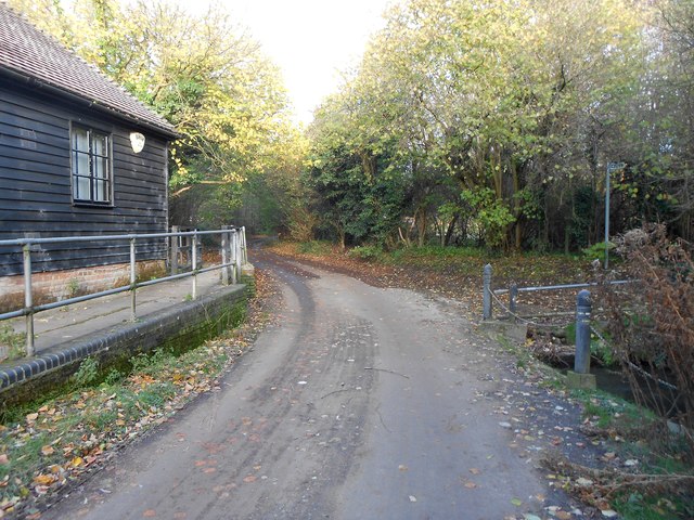
Image: © Nigel Cox Taken: 22 Nov 2015
Although the river mainly flows through the old mill, and under the road, the water in this mill bypass channel crosses the road in a culvert that can become full in periods of heavy flow, creating a ford. Please see Image] for a picture of the site with the ford in operation.
Images are licensed for reuse under creativecommons.org/licenses/by-sa/2.0
Image Location
Latitude
51.837799
Longitude
-0.221957