Cherry Grove
Introduction
The photograph on this page of Cherry Grove by Anne Burgess as part of the Geograph project.
The Geograph project started in 2005 with the aim of publishing, organising and preserving representative images for every square kilometre of Great Britain, Ireland and the Isle of Man.

There are currently over 7.5m images from over 14,400 individuals and you can help contribute to the project by visiting https://www.geograph.org.uk
Cherry Grove
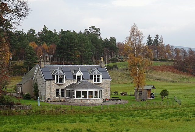
Image: © Anne Burgess Taken: 5 Nov 2018
The non-traditional conservatory added to this traditional stone house is beautifully matched to the original stonework. See from the Speyside Way.
Images are licensed for reuse under creativecommons.org/licenses/by-sa/2.0
Image Location
Latitude
57.318034
Longitude
-3.59461