Redlands/Ullswater Crescent
Introduction
The photograph on this page of Redlands/Ullswater Crescent by Ian Capper as part of the Geograph project.
The Geograph project started in 2005 with the aim of publishing, organising and preserving representative images for every square kilometre of Great Britain, Ireland and the Isle of Man.

There are currently over 7.5m images from over 14,400 individuals and you can help contribute to the project by visiting https://www.geograph.org.uk
Redlands/Ullswater Crescent
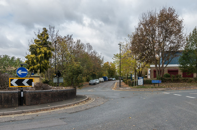
Image: © Ian Capper Taken: 27 Oct 2018
Roundabout where Redlands (in the background) meets Ullswater Crescent. The latter is the access road into the Ullswater Industrial Estate in the former Stoats Nest Quarry, which operated from the early 19th Century until the 1960s.
Images are licensed for reuse under creativecommons.org/licenses/by-sa/2.0
Image Location
Latitude
51.3166
Longitude
-0.135589