The Bryn Farm
Introduction
The photograph on this page of The Bryn Farm by Penny Mayes as part of the Geograph project.
The Geograph project started in 2005 with the aim of publishing, organising and preserving representative images for every square kilometre of Great Britain, Ireland and the Isle of Man.

There are currently over 7.5m images from over 14,400 individuals and you can help contribute to the project by visiting https://www.geograph.org.uk
The Bryn Farm
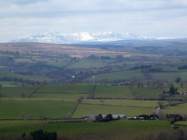
Image: © Penny Mayes Taken: 1 Apr 2018
Viewed from the ridge road to Dolfor. With what I believe to be the snow-clad heights of Aran Fawddwy (905m) in Image and Aran Benllyn (885m) in Image in the background.
Images are licensed for reuse under creativecommons.org/licenses/by-sa/2.0
Image Location
Latitude
52.520055
Longitude
-3.326508