House construction, Puckle Lane
Introduction
The photograph on this page of House construction, Puckle Lane by John Baker as part of the Geograph project.
The Geograph project started in 2005 with the aim of publishing, organising and preserving representative images for every square kilometre of Great Britain, Ireland and the Isle of Man.

There are currently over 7.5m images from over 14,400 individuals and you can help contribute to the project by visiting https://www.geograph.org.uk
House construction, Puckle Lane
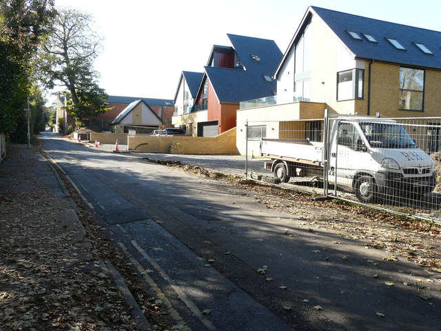
Image: © John Baker Taken: 21 Oct 2018
Planning permission was granted by Canterbury City Council under application number CA//15/01251 for “the re-development of the site to create three detached dwellings, with associated parking, access and landscaping”. They have been built on the site of the Image
Images are licensed for reuse under creativecommons.org/licenses/by-sa/2.0
Image Location
Latitude
51.272104
Longitude
1.084643