River Thames at Bray
Introduction
The photograph on this page of River Thames at Bray by Des Blenkinsopp as part of the Geograph project.
The Geograph project started in 2005 with the aim of publishing, organising and preserving representative images for every square kilometre of Great Britain, Ireland and the Isle of Man.

There are currently over 7.5m images from over 14,400 individuals and you can help contribute to the project by visiting https://www.geograph.org.uk
River Thames at Bray
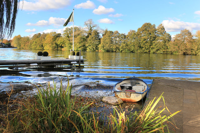
Image: © Des Blenkinsopp Taken: 29 Oct 2018
Bray is a riverside village although a visitor could be forgiven for not noticing it. This slipway at the end of Ferry Road is the one access to the Thames for anybody who doesn't have a house along the riverbank. If you want river views and walks then the opposite bank is a better bet.
Images are licensed for reuse under creativecommons.org/licenses/by-sa/2.0
Image Location
Latitude
51.509644
Longitude
-0.699352