Path marker in Backhouse Park, Sunderland
Introduction
The photograph on this page of Path marker in Backhouse Park, Sunderland by Malc McDonald as part of the Geograph project.
The Geograph project started in 2005 with the aim of publishing, organising and preserving representative images for every square kilometre of Great Britain, Ireland and the Isle of Man.

There are currently over 7.5m images from over 14,400 individuals and you can help contribute to the project by visiting https://www.geograph.org.uk
Path marker in Backhouse Park, Sunderland
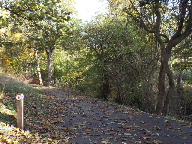
Image: © Malc McDonald Taken: 28 Oct 2018
The marker to the left of the path indicates the route of exercise trails around Backhouse Park in Sunderland. The exercise trails form part of "Active Sunderland 321", a public health initiative by Sunderland City Council which aims to encourage people to exercise by walking or jogging. More information about Active Sunderland 321 is on the City Council's website: https://www.sunderland.gov.uk/article/12581/Active-Sunderland-321-routes- This image was taken in late October, when there were plenty of fallen leaves on the ground.
Images are licensed for reuse under creativecommons.org/licenses/by-sa/2.0
Image Location
Latitude
54.891874
Longitude
-1.385395