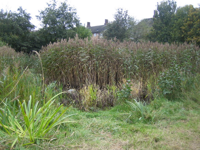
Rayners Lane: Newton Farm Ecology Park
Introduction
The photograph on this page of Rayners Lane: Newton Farm Ecology Park by Nigel Cox as part of the Geograph project.
The Geograph project started in 2005 with the aim of publishing, organising and preserving representative images for every square kilometre of Great Britain, Ireland and the Isle of Man.
There are currently over 7.5m images from over 14,400 individuals and you can help contribute to the project by visiting https://www.geograph.org.uk

Image: © Nigel Cox Taken: 24 Oct 2007
Hidden away behind the flats on the east side of Alexandra Avenue, (visible over the trees here), is Newton Farm Ecology Park. This was originally haymaking farmland and then a Victorian sewage farm, and is marked as such on the OS 1940s mapping. A remnant of this area, alongside The Roxbourne brook, was not been built over during the suburban sprawl that followed the arrival of the Metropolitan railway line. Today the area is managed to try to bring back various species of wildlife that have disappeared. This is the pond with its small reed bed. A large part of the area of the ecology park is also designed to be a flood storage area in case The Roxbourne bursts its banks.

