Normandy War Memorial
Introduction
The photograph on this page of Normandy War Memorial by Ron Strutt as part of the Geograph project.
The Geograph project started in 2005 with the aim of publishing, organising and preserving representative images for every square kilometre of Great Britain, Ireland and the Isle of Man.

There are currently over 7.5m images from over 14,400 individuals and you can help contribute to the project by visiting https://www.geograph.org.uk
Normandy War Memorial
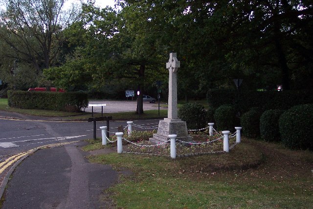
Image: © Ron Strutt Taken: 29 Sep 2005
Situated beside the A323 Aldershot to Guildford Road at its crossroads with Hunts Hill Road (seen here) and Glaziers Road. Looking W.
Images are licensed for reuse under creativecommons.org/licenses/by-sa/2.0
Image Location


Leaflet Map data © OpenStreetMap
Latitude
51.256055
Longitude
-0.67442